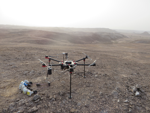
Is it a bird, is it a plane, a flying robot or a hovering laboratory?
Our very own Gehrig Schultz appears on the EAGE (European Association of Geoscientists and Engineers) website this week, talking about UAVs in geoscience. In the article, Gehrig discusses how the drone is revolutionising the industry.

‘The rapid development of drone technology beyond being merely platforms for cameras, to becoming versatile geophysical tools, has been enabled by revolutions in sensor miniaturisation, data transmission rates and AI enabled computing. Just as data and data technologies have fundamentally changed our way of living – just think about life before smartphones and wireless networks – the drone and sensor technology revolution with the associated benefits of 5G data transmission and AI computing will transform our lives as geoscientists.’ says Schultz.
You can read the full article here: https://prod.eage.org/en/news/news-homepage/uav


